Digital transition of spatial policy and governance
Wondering what new digital technologies mean for urban governance and spatial development in the Netherlands? Our course “Digital transition of spatial policy and governance” will learn you how to navigate between the societal added value and challenges of digitisation in the spatial domain.
With the rapid rise of big data, AI and many more digital technologies, the potential for spatial policy and governance is huge. For example, the use of digital twins to simulate the environmental effects of new construction or the use of digital platforms to improve interaction with residents. At the same time, developments are moving so fast that the potential is not always exploited or the design of good digital facilities is not yet in place. For instance, the Environment Act was delayed for years due to problems with the digital system (DSO) and the Personal Data Authority warned that municipalities regularly lose sight of their residents’ privacy. Large technology companies offer all kinds of products and services, but distinguishing sense from nonsense is not always easy. This raises the question: How do we ensure that digital technologies contribute to the spatial domain without putting public values under pressure?
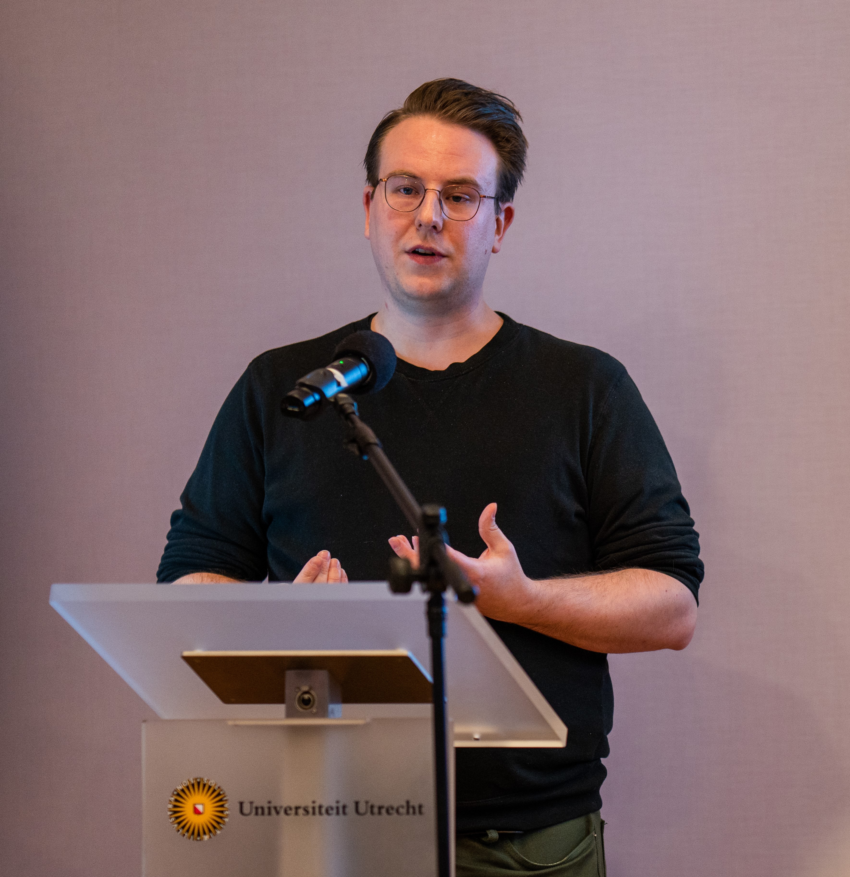
“The digital transition is strongly linked to local contexts; as a result, there are no one-size-fits-all solutions, but we have to make our own strategic choices”
Damion Bunders
In this course, public professionals develop strategic knowledge and skills regarding the use of digital technologies in the spatial domain. Through lectures, we provide an overview of recent developments, potential added value and challenges of digitisation. Best and worst practices are discussed in various fields: from infrastructure to interaction with citizens. In the workshops, we then set to work on developing a digital strategy for your own project or organisational unit. We do this together and step by step: from getting the right domain experts and ICT experts together internally to securing and scaling up pilot projects.
Workplace examples:
Mobility policy officer
Making better use of existing data for sustainable urban mobility, this is a common desire among mobility policy officers. Everyone thinks it is important, but where do you start with the limited time you have? The tendency is then quick to buy a dashboard from a technology company, but how do you make sure it stays up-to-date and actually delivers results - even after a pilot project is over?
Water board object manager
More and more infrastructure can be managed automatically and remotely. This is efficient and can contribute to sustainability. At the same time, there is a security risk, because what if there is a cyber attack and the systems have to be operated manually? How do you then ensure that the knowledge and skills of older generations of water managers are captured and transferred to the new generation?
Spatial planning policy advisor
When redesigning a neighbourhood or public space, not only changing space needs due to digitalisation must be taken into account, but also residents who are increasingly expressing themselves online. How does this change the relationship between government and citizens? And how do you effectively involve residents in the redevelopment of their neighbourhood through digital tools?
The course consists of six half-day meetings over three months (about once every fortnight). Each meeting focuses on a topic that is covered in two working formats:
- Lectures by guest speakers who present and illustrate new state-of-the-art insights using best/worst practices
- Workshops in which participants apply these insights in developing a digital strategy for their own project or organisational unit
Programme
Meeting | Topic | Questions | Teachers |
|---|---|---|---|
1 6 February | Introduction and overview of recent developments | What developments have occurred in the digitisation of the spatial domain over the past decades? Where do developments such as smart cities come from? And what issue from my working practice do I want to work on during this course? | Lecture: Patrick Witte Workshop: Damion Bunders |
2 6 March | Digital transformation within one’s own organisation | How do I get the right people together internally for my digitalisation task? How do I trigger digital transformation within my own organisation? How do I deal with resistance? | Lecture: Workshop: Erna Ruijer |
3 13 March | Critical reflection on technology | How do I properly weigh up the potential added value and challenges in using digital technologies for spatial policy? When do I say yes/no to a new technology? | Lecture: Workshop: Erna Ruijer |
4 20 March | Cooperation with public and private actors | What tensions can arise when working with external partners, both public and private? How do I maintain the director’s chair? | Lecture: Martijn van den Hurk Workshop: Damion Bunders |
5 3 April | Social innovation in the digital transition | What are the opportunities to better engage citizens through digital technology? How is digitisation changing the relationship between government and citizens? | Lecture: Damion Bunders Workshop: Damion Bunders |
6 17 April | Evaluate, scale up and perpetuate | In what way can “learning by doing” be stimulated? How to ensure that pilot projects can scale up or be secured for the long term? | Lecture: Workshop: Erna Ruijer |
Target group:
Intended for: Public professionals in the spatial domain with a digitisation task, such as policy officers and planners working for local and regional governments or civil society organisations. A digitisation task may focus, for example, on urban governance (e.g. municipal utilities, interaction with citizens, enforcement) or on spatial development (e.g. DSO, planning support systems).
Admission requirements: The course does not require specific prior education, but it assumes HBO/WO working and thinking level and professional experience in the spatial domain.
Learning objectives
Upon completion of the course:
- You will be familiar with state-of-the-art insights from academic research on the digital transition of spatial policy and governance.
- You will be able to reflect on the potential added value and challenges in using digital technologies in spatial policy and governance.
- You have access to a “community of practice” of other public professionals with a digitisation task in the spatial domain.
- You are able to find and connect the right cooperation partners within your own organisation, public or private actors, and citizens.
- You will have developed a digital strategy for your own working practice that contributes to spatial policy and governance without putting public values under pressure.
Teacher:
Dr. Damion Bunders

Damion Bunders is Assistant Professor Governance of Urban Digitalisation at the department of Human Geography and Spatial Planning and the Utrecht University School of Governance. In his research, teaching, and public engagement, Damion addresses the digital transition and how it can be (re)shaped to the benefit of society.
- View profile
Teacher:
Dr. Erna Ruijer

Erna Ruijer is assistant professor at the Utrecht University School of Governance (USG).
- View profile
Teacher:
Dr. Patrick Witte

Associate Professor in Urban and Regional Planning at Utrecht University
- View profile
Teacher:
Prof. dr. Albert Meijer

Albert Meijer is professor of public innovation at Utrecht University and heads the public management group. He is an expert on governance in the information society. He has published in international journals on public innovation, smart cities, ICT, data and social media in the public sector.
- View profile
Teacher:
Dr. Martijn van den Hurk

My research and teaching focus on the institutional arrangements for land and real estate development, often with specific attention to the role and impact of contracts and public accountability relative to urban transitions.
- View profile
Practical information:
- Price: €2,500
- Payment options: direct payment or invoice
- Cancellation policy: according to general terms and conditions UU
- At the end of the course you will receive a certificate of participation
PLEASE NOTE: The closing date for registration for the course is December 15th.
For questions:
Continuing Education of Geosciences
Mail your questions to continuingeducation.geo@uu.nl
- continuingeducation.geo@uu.nl
